Project Summary
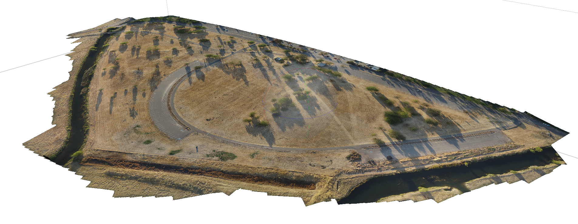
This project demonstrates the use of drone-based photogrammetry to create accurate digital representations of real-world environments. Using autonomous flight-planning and photogrammetry software, aerial imagery was transformed into detailed 3D models of a construction site, a section of Yosemite Lake, and a natural river corridor for visualization, documentation, and analysis.
The project emphasized careful image collection, reconstruction quality, scale awareness, and preparing outputs that could be reviewed or used as a reference for design and planning work.