Project Summary
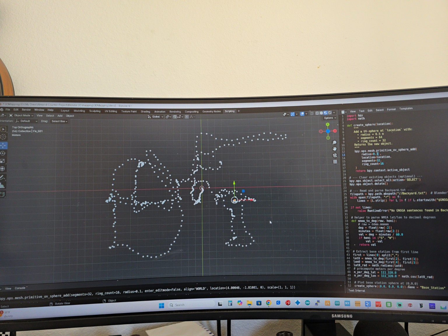
The Object Counting and Mapping project focused on developing a handheld robotic vision system capable of detecting, counting, and generating three-dimensional locations of objects in real time. The platform integrates stereo vision, depth sensing, inertial measurement units (IMUs), and onboard computing to estimate the position of detected objects relative to the surrounding environment. Throughout development, multiple localization methods were researched and evaluated, beginning with an RTK GPS-based solution before transitioning to Kimera-VIO to improve camera tracking and mapping performance through visual-inertial odometry.